
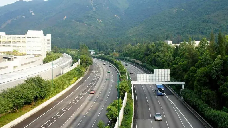
The proposed six-lane access-controlled greenfield highway will connect Bengaluru and Vijayawada and is expected to improve regional connectivity significantly. It will also provide a major boost to industrial development in Andhra Pradesh, especially in Kadapa district. Scroll down to know more.
The Proposed Bengaluru-Vijayawada Highway
As per reports by News18, the project is a part of National Highway-544G, which serves as a major segment of the Bengaluru-Kadapa-Vijayawada Economic Corridor, intended to improve connectivity between two major cities across southern India. The highway will start near Kodur village at the Kodikonda checkpost and will pass through five important districts like Sri Sathya Sai, YSR Kadapa, SPSR Nellore, Prakasam and Bapatla before ending at Muppavaram village near Addanki.
One of the key highlights of the project is to build a smooth connection between NH-44, which will connect Bengaluru and Hyderabad, and NH-16, the Chennai-Vijayawada corridor. The highway is also expected to improve access to several remote regions that currently lack reliable highway connectivity. As per the reports, the corridor will reduce the distance between Bengaluru and Vijayawada by roughly 110 km. Not only this, but the highway will cut the travel time to 3-4 hours, enhancing both passenger and freight movement while improving logistical effectiveness for industries that operate along the route.
Also Read: New 8-Lane Road To Connect Greater Noida To Ganga Expressway In 30 Mins? Here’s All You Need To Know
Kadapa To Serve As A Major Part Of The Highway
Among all districts along the route, Kadapa is said to gain the most from the project. The highway will pass through 12 mandals located in the district, including Pulivendula, Vemula, Vempalli, VN Palli, Yerraguntla, Kamalapuram, Chapadu, Mydukuru, B Matham, B Kodur and Porumamilla, covering a distance of approximately 123.5 km.
Kadapa District Collector Sridhar Cherukuri told the portal that the district’s part of the project comprises six construction packages with a combined investment of ₹5,377.72 crore. Additionally, authorities revealed that the land acquisition work is at an advanced stage. If reports are to be believed, a total of around 2,750 hectares has been acquired for the highway, including 1,020 hectares within the Kadapa district alone. The project has been categorised into 14 construction packages, with work already moving forward on multiple stretches.
The project received a significant push after obtaining crucial statutory approvals. Back in March 2025, the Stage-II forest clearance and wildlife clearance were also secured, clearing the way for construction activities to move forward without any hurdles.
It’s a major travel boost for Bengaluru and Vijayawada.
FAQs
What is the Bengaluru Vijayawada Expressway?
The Bengaluru–Vijayawada Expressway (officially NH-544G) is a 518 km long, 6-lane access-controlled economic corridor under construction in Southern India.