
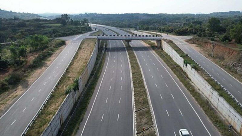
The 119 km long Bengaluru-Mysuru Expressway is a ten-lane highway connecting crucial parts of Karnataka. This access-controlled road reduces travel time between Bengaluru and Mysuru by around 75 minutes. Soon, an all-new toll collection system will be introduced here. According to reports, the Bengaluru-Mysuru Expressway will pilot the Global Navigation Satellite System (GNSS). Read on to learn about the upcoming implementation and its impacts on enhancing experiences.
Bengaluru-Mysuru Expressway Will Get A GNSS-Based Toll System

Reports state that this important expressway will witness the pilot of a GNSS-based toll connection system. In the beginning, this will be viewed as a pilot project after implementation, according to a report by Times Now. Authorities will conduct trials in the initial phase to identify and understand its potential and effectiveness in the operations.
Once the experiment results in the necessary information and desired outcomes, the GNSS-based toll system will be stationed on the Bengaluru-Mysuru Expressway on a full scale. Implementation of GNSS will be executed on the Panipat-Hisar section of Haryana’s National Highway 709 as well.
The introduction of GNSS led to much confusion among people and the replacement of FASTag at the Bengaluru-Mysuru Expressway is one of the many queries. As of now, this new system will function along with the FASTag system. The existing FASTag system will not be replaced to operate the GNSS system.
According to a recently released statement, the GNSS-based Electronic Toll Collection (ETC) System will operate at specific sections of National Highways alongside FASTag. This will function as an additional service.
More About The Toll Collection System
This fee-collection procedure is primarily dependent on the satellite and its specific positioning to discover results such as collecting tolls and pointing out locations of cars and vehicles on the road. Also, it can observe and keep track of the entry and exit of vehicles from selected tolled areas on a highway.
This advanced and new system has the ability to replace or run along the already functioning toll collection procedures.
What are your views on this decision to implement the GNSS toll system on the Bengaluru-Mysuru Expressway? Let us know.
Cover Image Courtesy: Wikimedia Commons
For more such snackable content, interesting discoveries and the latest updates on food, travel and experiences in your city, download the Curly Tales App. Download HERE.