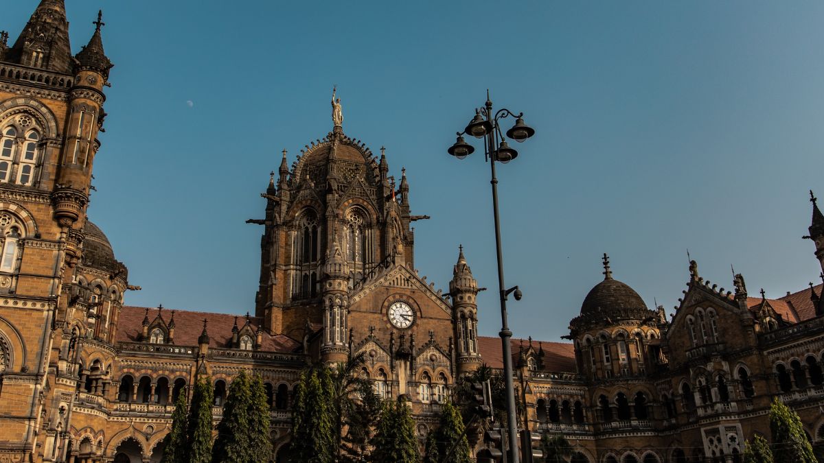
The Brihanmumbai Municipal Corporation (BMC) hopped on to working on the process of creating a digital 3D map of Mumbai. BMC worked on a 3D map of Worli the last September, and this time they will create it for the entire city. They tried the 3D map out in Worli previously which helped in making the plan and developing the infrastructure. Now, BMC is expanding it throughout the City of Dreams.
Mumbai Will Soon Get A Digital 3D Map
This new digital model will have all the details of the city’s infrastructure and development. This map will have information about Mumbai’s bridges, roads, flyovers, buildings, underpasses, water bodies, slums, gardens, tunnels, various transportation modes, traffic signals, airports, street lights, and more. The information technology department of the BMC will look after this massive project. The civic body already published a request for proposal for this project. They will also appoint a contractor for it. Once the project will get completely ready, the BMC will map changes year-on-year for the upcoming three years.
Also read: 5 Non-commercial Getaways From Mumbai That Promises A Secluded Vacation
The approximation area covered under the survey of this 3D map project is 500 sq km. The area of Mumbai is about 480 sq km and the rest is the buffer space needed for the survey and during the usage of the mapping tools. The expected time for this development is over one and a half years.
Also read: You Can Soon Drink Water From These Stunning Fountains In Mumbai
How Will The Digital 3D Map Help The City?
All these years, 2D maps have been used for every plan and development of Mumbai. And because of such maps, there have been times when a few details get left out. This digital 3D map will change the entire game of planning and developing infrastructure. It is expected that this digital map will help in being more accurate while planning than before. Also, as the BMC is working to create a 360° panoramic view of the entire city, it will help in determining details better. This 3D map will help in a lot of fields along with infrastructure planning. It will also help in situations such as disaster management, encroachment detection, environment analysis, and much more.
First Published: July 28, 2022 11:07 AM


