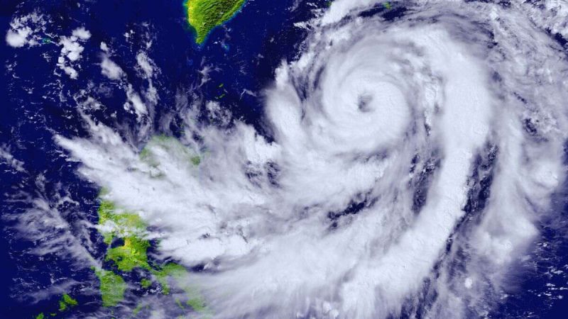
Several parts of Japan are on high alert indicating the approach of the devastating Typhoon Shanshan. Recently, the Japan Meteorological Agency stated that it has a risk of leading to a very powerful storm in the next couple of days. According to several reports and forecasts, the eastern and western parts of this Asian country are likely to face the harsh effects of the typhoon. Read to know its necessary updates.
Typhoon Shanshan Is Likely To Hit Japan Soon
Taking to X, Zoom Earth (@zoom_earth) shared recent updates about the typhoon.
Typhoon #Shanshan is set to strike Japan next week with winds of 195 km/h or more 🌀⚠️
The typhoon has struggled to strengthen over the past 24 hours, with winds remaining at 120 km/h. However, the typhoon is expected to enter a new stage of intensification soon. #台風10号 pic.twitter.com/j5vz4crfGL
— Zoom Earth (@zoom_earth) August 24, 2024
According to recent updates shared by the agency, the typhoon is anticipated to lash over eastern and western Japan with high waves and gusty winds. Locals residing in the risky areas have been advised to stay safe and start taking much-needed precautions ahead of the weather turning worse. According to a report by Kyodo News, shinkansen bullet trains might halt regular operations as a precautionary step.
Initially, Typhoon Shanshan was rushing towards the North side close to the Ogasawara Island chain. Now, updates highlight the tropical cyclone heading close to eastern and western Japan and the weather is expected to change drastically with strong winds hitting all around on Wednesday.
Here’s a visual representation of the typhoon changing and getting stronger.
Typhoon #Shanshan is slowly strengthening south of Japan 🇯🇵🌀 #台風10号 pic.twitter.com/J3hhkZ0BjQ
— Zoom Earth (@zoom_earth) August 25, 2024
In the last couple of days, the Japan Meteorological Agency asked everyone to remain alert and warned regarding the potential chances of very heavy downpours, lightning, powerful winds, and hailstorms. However, the weather conditions are likely to change drastically and turn adverse.
Also read: Hurricane Hone: Category 1 Hurricane Approaches Hawaii; To Increase Danger Of Wildfire
More About The Typhoon
Prof RV (@TheTechocrat) took to the X platform to share important details about the cyclone.
That’s typhoon shanshan far away in the Philippines sea.
130 kmph at present.#Typhoon pic.twitter.com/ZQ9qNhchwe— Prof RV (@TheTechocrat) August 25, 2024
According to a report by The Japan News, Typhoon Shanshan may head to the Shikoku region on Tuesday with a maximum wind speed of 25 metres per second along with an instantaneous wind speed of 35 metres per second. Reports also added the wind speed may reach a maximum of 23 metres per second in the Kinki region. A maximum instantaneous wind speed of 35 metres per second is anticipated in this region.
Western Japan is likely to witness the harshest wrath of the typhoon as storms may get stronger in this region.
If you are in one of the risky regions in Japan currently, stay safe and take caution.
Cover Image Courtesy: Canva
Image for representation
For more such snackable content, interesting discoveries and the latest updates on food, travel and experiences in your city, download the Curly Tales App. Download HERE. First Published: August 25, 2024 7:22 PM


