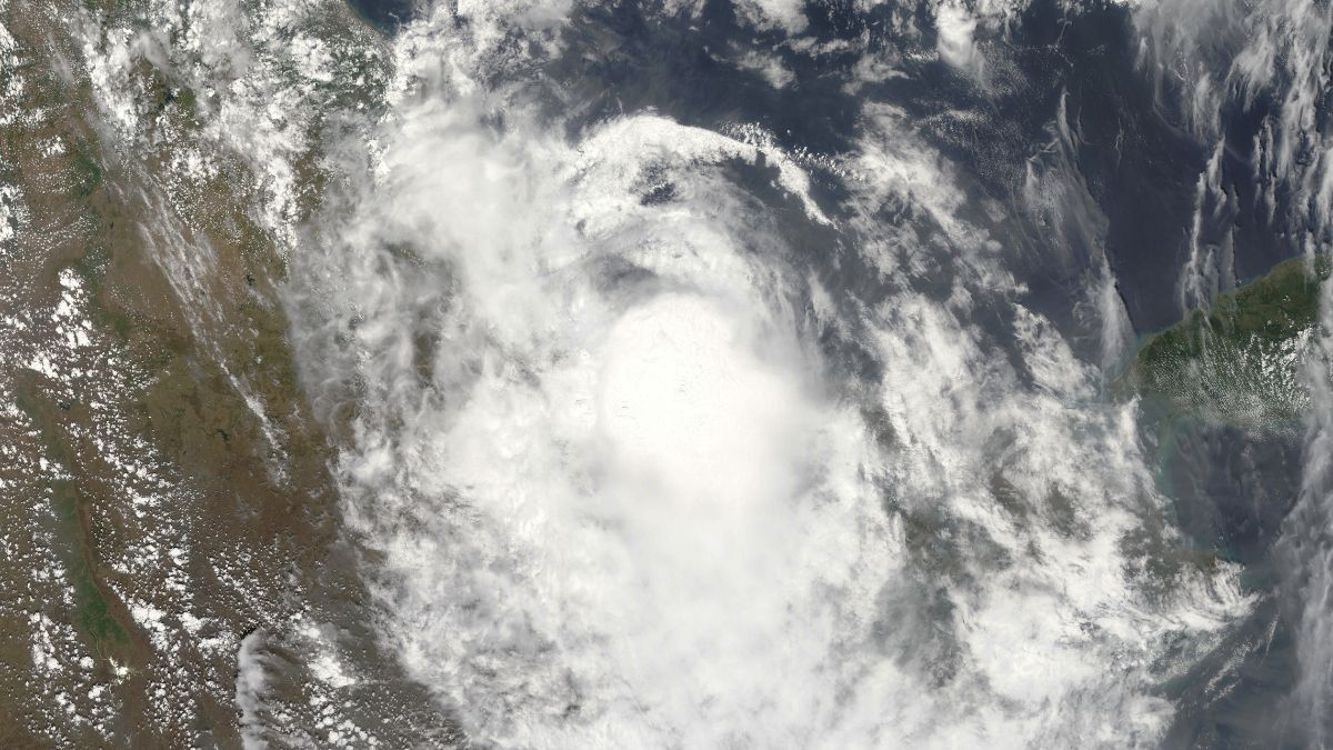
Heavy rainfall has been predicted in some parts of the East Coast of India. According to the Indian Meteorological Department or the IMD, a low-pressure area is forming over the Bay of Bengal which may likely turn into a cyclone. There is also another low-pressure area which means that there is a threat of 2 cyclones, back to back in the Bay Of Bengal. Here is everything that we know so far about these cyclones.
2 Cyclones Brewing In Bay Of Bengal, Heavy Rains Predicted
According to an article recently published by Down To Earth, the first low-pressure area began building on November 14. The building of this low-pressure area was induced by an upper-air cyclonic circulation which was over the South Andaman Sea. As per the IMD officials cited in the article, the system may gain enough strength by November 16 to become a depression.
The second upper-air cyclonic circulation was built over the southwestern parts of the Bay Of Bengal. As per a research scientist at the Typhoon Research Centre of Jeju National University in South Korea, Vineet Kumar Singh, this system could also potentially create another low-pressure area which might turn into another cyclone. The two systems could interact and set off a Fujiwhara effect.
Also known as the Tropical Tango, the Fujiwhara effect is when two cyclones come close enough to each other that they create a shared centre which makes the two cyclones twirl around the common point. Additionally, if one of the storms is smaller than the other, it will twirl around the bigger storm and crash into it in order to be absorbed.
Also Read: Cyclone Biporjoy: 184 Teams, 58 Control Rooms, Here’s How Guj Govt Saved Endangered Asiatic Lions
What To Expect In The Next Few Days
However, it is important to note that the likelihood of the Fujiwhara effect is quite low. As per Singh, it is more likely that the second storm will form after the second system has already dissipated. Hence, it is unlikely that the two will interact. However, it is likely that the two cyclones will happen back to back which means that the coastal area might experience bad weather.
According to an article recently published by News18, heavy rainfall has been predicted on the coast of Odisha. The speed of the wind may get as high as 45 kilometres per hour and 65 kilometres per hour. One of the two cyclones is likely to be a lot more severe than others. One of the cyclones will also be called Midhili, as per the News18 article.
As per the DTE article, many tropical cyclones these days undergo what is known as RI. RI stands for rapid intensification which means that these cyclones intensify rapidly in a short period of time.
Also Read: Cyclone Biparjoy: Gusty Winds At 110-125 Kmph, Houses Broken, Power Cut In Villages & More Havoc
Have you ever witnessed a cyclone before? Let us know in the comments section below!
Cover Image Credits: Canva Images (For Representational Purposes Only)
For more such snackable content, interesting discoveries and the latest updates on food, travel and experiences in your city, download the Curly Tales App. Download HERE.
Good news! We are on WhatsApp! Subscribe to Curly Tales WhatsApp Channel to stay up-to-date with exclusive content and BTS. Join HERE.

