


Chandigarh will soon be the first city in India to have a ‘tree map’. This map will give people an idea of the number of trees, their species, and more details about the trees in each avenue. Not only that, the authorities have also decided to geotag all trees in the union territory using modern GIS-based technology. Read on to know more about this.
Chandigarh To Soon Have A ‘Tree Map’

In a first, Chandigarh will soon be the first Indian city to have a ‘tree map’. As per The Indian Express report, this tree map will have the main tree species, the approximate number of trees and other species which are planted and an approximate number of such species, in each avenue listed for the union territory.
This decision was made during a meeting of senior officials of the Chandigarh administration and departments of wildlife and forests. They jointly sat for a meeting and decided to make a ‘tree map’ for the city.
The civic body and the engineering department will submit a draft of the tree map of Chandigarh soon. This will include all the aforementioned information and it will help the expert committee to study, deliberate and prepare the futuristic plan for the city, The Indian Express reported.
Not just that, the committee has also ordered a comprehensive assessment of the trees in the city. This will include checking their health status at the municipal corporation (MC) through the Forest Research Institute (FRI). They believe this will be a very important exercise for the trees in the city.
All Trees To Be Geotagged Using Modern GIS-Based Technology
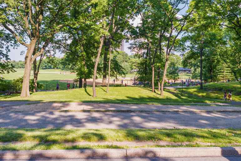
As per The Indian Express, the total geographical area of Chandigarh is 114 sq km and about 47.56 sq km of its area is under forest cover and another 10 sq km is under tree cover. To make the ‘City Beautiful’ greener, the Chandigarh administration has further decided to geotag all trees in the city. They will carry out this exercise using modern GIS-based technology.
As per the officials, geotagging of the trees will help experts analyse and study the trees in the city. It will further help collect data for the scientific management of trees in Chandigarh, The Indian Express reported.
What are your thoughts on the ‘tree map’ of Chandigarh? Let us know in the comments!
Cover Image Courtesy: Canva
For more such snackable content, interesting discoveries and the latest updates on food, travel and experiences in your city, download the Curly Tales App. Download HERE. First Published: July 26, 2024 6:00 PM