While the Earth might be filled with grounded planes today, they will all be taking to the skies soon. In an appropriate response to the ‘Stay at Home’ movement, most passenger planes have been rested across airports around the world, awaiting their next flight dates. Meanwhile, the KhalifaSat captured images of the world’s busiest airports during the lockdown and its absolutely stunning.
What Is The KhalifaSat?
KhalifaSat is a remote sensing Earth observation satellite which manufacturing started in South Korea but eventually moved to the UAE in the last stages of production. The satellite was fully developed at MBRSC facilities by Emirati engineers and was launched to space in October 2018. It has five patents and seven space innovations, making it the most advanced satellite of its category in the world.
KhalifaSat provides images with specifications that meet the highest international standards in space images. These high-resolution, detailed images help government and private organisations to get accurate data, allowing them to monitor environmental changes, detect the effects of global warming, ensure responsible urban planning and management, and aid relief efforts at times of natural disasters.
What’s In It?
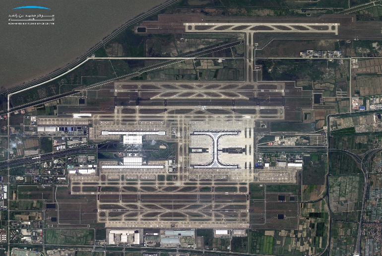
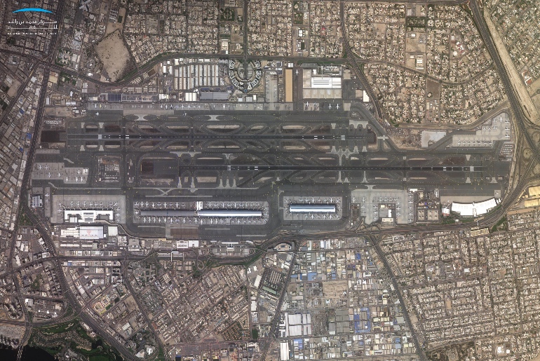
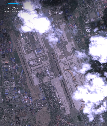
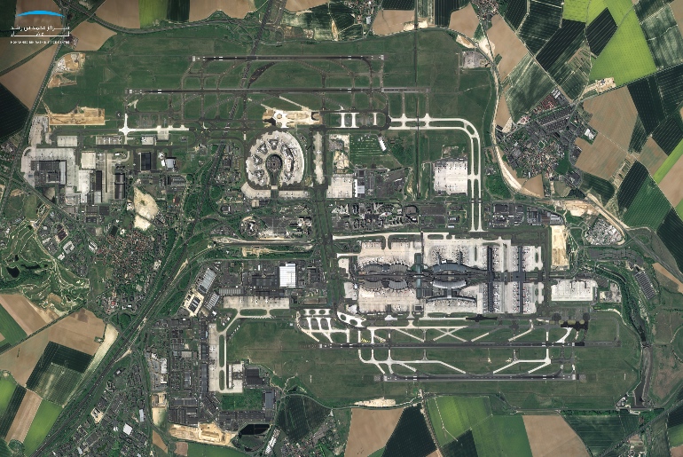
The satellite clicked photos of the world’s biggest airports such as Dubai International Airport, Shanghai International Airport, Los Angeles International Airport, Beijing Capital International Airport and Paris Charles de Gaulle Airport, between March and April.
The images were taken during the temporary suspension of the movement of air traffic, in light of the measures taken globally to limit the spread of the coronavirus ‘COVID-19’, and to emphasise that ‘We Will Win’ the fight against this pandemic.
“We understand that we are passing through an unprecedented period due to the current pandemic, which has had an impact on climate emissions and pollution. We believe that data procured from KhalifaSat can be further used to explore the effects of the COVID-19 pandemic on Earth.” said Ammar AlMuhairi, Manager of the Image Processing Section, MBRSC.
Here are the images:
1. Dubai International Airport
2. Beijing International Airport
3. Los Angeles International Airport
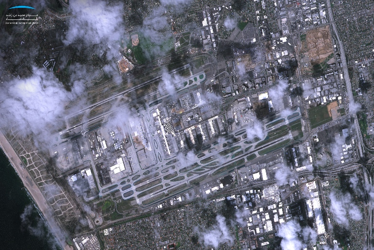
4. Paris International Airport
5. Shanghai International Airport