
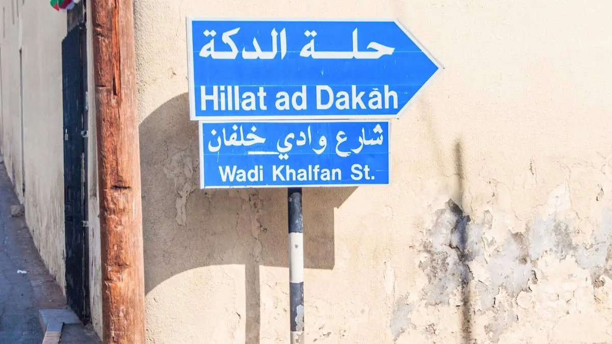



Anyone who’s tried to give directions in Muscat knows the drill, “it’s near the roundabout, past the place that used to be a bakery, close to Azaiba… or was it Athaiba? “That era of guesswork is officially on its way out. Muscat Governorate has begun field implementation of Oman’s National Addressing Project, an initiative aimed at giving every home, business and public facility a single, unambiguous street names tied to actual GPS coordinates.
Confused By Azaiba Vs Athaiba Vs Udhaiba? Muscat Is Finally Fixing Its Street Name Chaos
More than 80% of street naming and address-point verification has already been completed across the pilot areas, according to authorities. Field teams have moved into the next phase, surveying a pilot zone in Quriyat to confirm exactly where street and building signboards should go before manufacturing and installation begins.
Street names in the pilot have already been formally approved, and individual address data, covering specific buildings and other addressable premises, has been verified on the ground. Once that wraps up, the project rolls out to Muscat’s major urban centres before eventually expanding to cover every wilayat in the governorate.
The initiative is a joint effort between the Ministry of Housing and Urban Planning, Muscat Governorate, and Muscat Municipality. The Ministry oversees the national address database and sets the technical standards for naming and numbering under Ministerial Decision No. 200/2024, while the governorate and municipality handle approving actual street names, updating address records and getting signboards physically installed.
Why This Matters Beyond Just Finding Your Own Front Door
This isn’t just a cosmetic fix for confusing landmarks; it’s meant to plug into how the city actually runs. Once complete, the system will integrate with government platforms including the Unified Municipal System, which should streamline permits, inspections, and other municipal processes that currently rely on messy, informal location data.
The practical upside is bigger than it sounds. Officials say the project is expected to directly benefit ambulance and emergency response teams, Civil Defence, Royal Oman Police, postal and delivery companies, and utility providers across electricity, water and telecoms, all of whom currently lose time working off landmark-based directions instead of precise coordinates. It’s also expected to support healthcare and education access, commercial licensing, land management and infrastructure planning more broadly.
Cover Image Courtesy: CanvaPro/mathess from Getty Images
FAQs
What is Oman's National Addressing Project?
A nationwide initiative to standardise street names and assign every home, business and facility a unique address linked to precise geographic coordinates
Will this replace how I currently give directions using landmarks?
Gradually, yes, the goal is to shift from landmark-based directions to a unified address system linked to GPS coordinates.


