
In Nepal, the monsoon season has gone from seasonal to catastrophic in a time that felt like minutes. Over the last several days, uninterrupted rainfall has torn through hills, triggered landslides, flooded major river basins, and brought critical infrastructure to its knees. At least 11 national highways are now completely blocked in Nepal amidst floods, cutting off essential movement across the country.
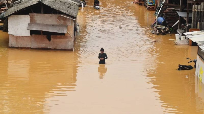
Nepal Engulfed In Floods As Rivers Swell Up

According to India TV, The Department of Hydrology and Meteorology has predicted that heavy rains are not over yet. The forecast holds steady through July 21, with red alerts now extending to districts across central and western regions. Rivers are now pushing up against danger levels. Koshi, the largest of them, is poised to breach its threshold. It is not alone as rivers like The Tamor, Arun, Tamakoshi, Dudhkoshi, and Kankai are all surging, fed by cloudbursts. In the heart of the country, the Bagmati River is expected to flood parts of the Kathmandu Valley, while in the west, the Mahakali River is projected to overflow by Monday afternoon; its currents are already threatening to spill into adjacent lowland settlements.
The Home Ministry isn’t waiting for the rivers to prove them right; an advisory is already out: evacuate if you live near the banks, avoid travel, and monitor weather updates closely. The tone is urgent and the message is clear: this is a national emergency in motion.
Also Read: This Fiery Nepali Mushroom Recipe Is Humble, Homemade, And Totally Unmissable
Nepal Floods: Which Areas Are Shut?
Hydropower projects, meanwhile, have entered defensive mode. The Independent Power Producers Association of Nepal (IPPAN) has asked all plants to go on high alert for at least three days. Dams, reservoirs, tunnels, many of them tucked deep in flood-prone valleys are now being inspected for structural integrity.
The damage to transportation is visible and widespread. Major highways are being severed by collapsing hillsides and submersion. Among the major routes fully shut are:
- Koshi Highway (Sankhuwasabha)
- Mechi Highway, Tamor Corridor, Mid-Hill Highway (Panchthar)
- Pasang-Lhamu Highway (Rasuwa)
- Kali Gandaki Corridor (Baglung)
- Jomsom-Lomanthang Road (Mustang)
- Sahid Highway (Rolpa)
- Jajarkot-Dolpa Bheri Corridor (Rukum West)
- Mahakali Highway (Baitadi)
Also Read: Fly More! Air India Adds More Flights To Nepal, Thailand & Sri Lanka From Major Cities
Most Affected Areas In Nepal
Some stretches are still passable, but only barely. Traffic on the Tokha-Nuwakot route in Kathmandu has been reduced to a single lane while Baglung’s Mid-Hill Highway and parts of the Kali Gandaki Corridor in East Nawalparasi are also operating under restricted movement. Further west, the Sahid Highway through Parivartan Rural Municipality in Rolpa has been partially reopened, but one rain spell could close it again.
The most affected districts right now are Baglung, Myagdi, Parbat, Syangja, Palpa, Nawalparasi, and Rupandehi; all lying within the Narayani River watershed, a zone where every river, stream, and slope is under pressure. In the western stretch, the Rapti and Babai basins are next in line, with forecasts pointing to moderate to severe impact depending on the next 48 hours.
Rescue teams, disaster response units, and Nepal Police personnel are on high alert, but access remains their biggest challenge. Every hour of rainfall deepens the vulnerability in Nepal.
Cover Image Courtesy: iqrorinaldi/Unsplash
For more such snackable content, interesting discoveries and the latest updates on food, travel and experiences in your city, download the Curly Tales App. Download HERE.