


UAE in association with RTA has introduced multiple campaigns and initiatives to provide safe travel in the region. But travel safety isn’t limited to the land. Abu Dhabi has recently announced the launch of an app, Al Nalia that can prove to be a breakthrough in the travel industry. Why? Because it will help safe waterway navigation in the Emirates.
Abu Dhabi Municipality Has Launched Al Nalia App For Safe Waterway Navigation
.@abudhabidmt, in cooperation with @admaritime, part of @ADPortsGroup, has launched the Al Nalia app to ensure safe and easy use of waterways in #AbuDhabi, supporting the emirate’s digital transformation. Al Nalia app is available to download on the App Store and Google Play. pic.twitter.com/R3qEl7vcW2
— مكتب أبوظبي الإعلامي (@ADMediaOffice) March 20, 2023
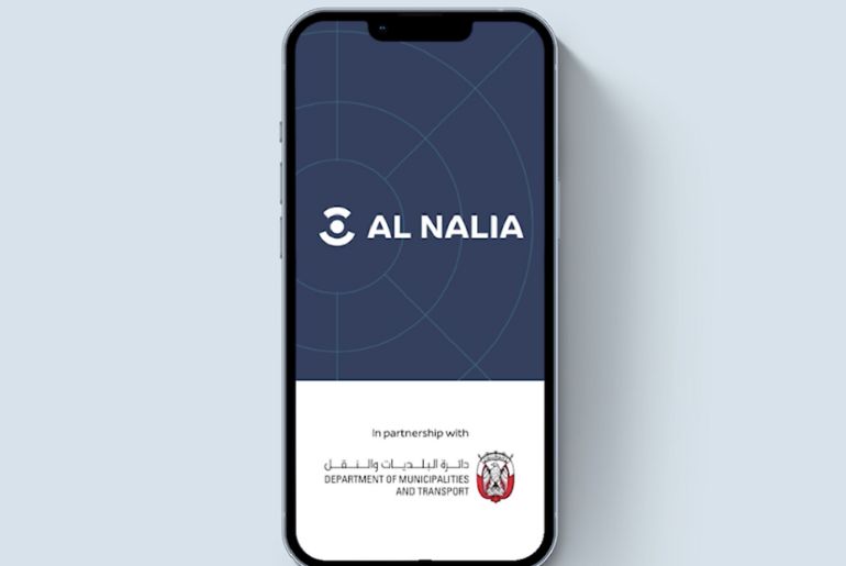
The recently launched Al Nalia smartphone app will give access to Abu Dhabi’s maritime safety maps. The Department of Municipalities and Transport (DMT) is the division behind the launch of this resourceful application.
AD Ports, Abu Dhabi has two departments namely, the Abu Dhabi Maritime and Maqta Gateway that collaborated for the ideation of this application. The application promotes the effectiveness and convenience of using Abu Dhabi’s waterways and strengthens the safety of marine navigation in the UAE.
Also Read: Abu Dhabi Gets A New Wholesale Farmers’ Market At Mina Zayed
User-Friendly Interface, Recreational Activities & Safe Maritime Navigation In The UAE
Making an app that offers a simple user-friendly interface in today’s time is crucial. And Al Nalia has something really similar to our expectations from such an app. With a versatile interface that guarantees simplicity of use and navigation, the app provides users with one of the region’s most cutting-edge maritime nautical services for smartphones.
With a versatile interface that guarantees simplicity of use and navigation, the app provides users with one of the region’s most cutting-edge maritime nautical services for smartphones.
Also, the programme provides precise data immediately on global navigation systems like Google Maps. This will help users in choosing the best waterways, routes, and destinations. Also, it will help enhance the usability and accessibility of nautical map reading. Expect the app to provide quick search results in an efficient network.
Previously the Municipality launched the Maritime Safety Maps’. Now to update the system with better nautical facilities, Abu Dhabi Municipality has introduced this app. How does this app work? Well, it helps us with vital information like speed limits, designated areas for motorised and non-motorized recreational maritime activities, designated mooring and anchorage areas, and major commercial transit lanes and connectivity routes, in real-time.
This app seems to be really informative and helpful.
Cover Image Courtesy: AD Media Office