


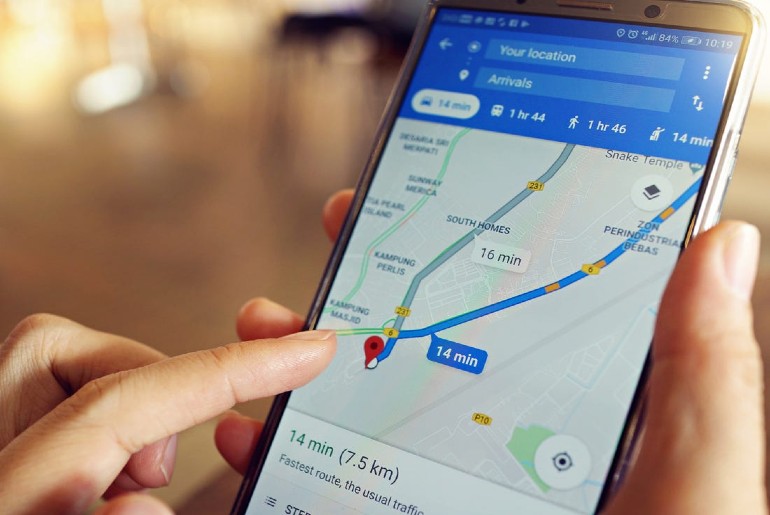
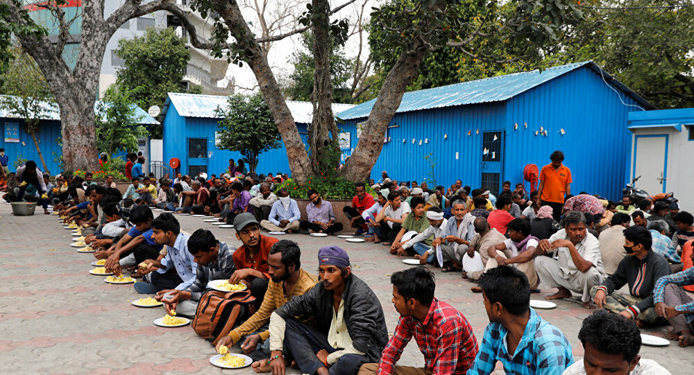
Coronavirus has been growing exponentially in India. To reach needy people, the Central and State governments have partnered with Google Maps. The Delhi government has been providing over 1,000 food distribution centres and night shelters, with more being added every day to the needy during lockdown. And now these can be easily located on Google Maps.
Also read: Door-To-Door Mobile ATM Services To Start In Delhi’s Red Zones Amid Lockdown
What Is It
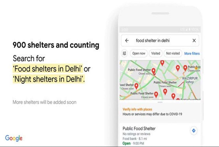
Google has added 32 cities to the Google Maps. These cities can be searched for the shelters by people in need. Delhi CM has also joined hands with Google Maps. Now, Delhi has added its food and night shelters with the help of Google maps to provide relief during lockdown. The decision has been taken keeping in mind the extension of lockdown till May 3.
Chief Minister Arvind Kejriwal tweeted about the collaboration, “As we prepare for an extended lockdown, we are proud to work together with @GoogleIndia Maps in ensuring easy accessibility of all our food and night shelters. We are committed to do everything possible to make life easy for those most affected by the lockdown.”
As we prepare for an extended lockdown, we are proud to work together with @GoogleIndia Maps in ensuring easy accessibility of all our food and night shelters. We are committed to do everything possible to make life easy for those most affected by the lockdown. https://t.co/fMvYzFmLPn
— Arvind Kejriwal (@ArvindKejriwal) April 14, 2020
Started initially with 223 night shelters run by the Delhi Urban Shelter Improvement Board, now the government has started over 1,500 free food distribution centres along with temporary shelters for migrant workers who were trying to leave the city for their native states.
Also read: Delhi’s Gurudwara Bangla Sahib Is Serving 40,000 People Each Day Of The Lockdown
Locations To Be Available On Other Apps
The locations will also be made accessible via Google Search and the Google Assistant. To reach the masses, the feature is initially available in English. However, Google is working on enabling in other languages as well.
Steps To Avail The Facility On Google Maps
One needs to have Google maps installed in the device. In order to find the places for food and night shelter, follow the steps:
Step 1: Open Google Maps on your device.
Step 2: Next you need to search.
For food shelters, enter ‘Food shelters in Delhi’ or ‘Food shelter near me’.
For night shelters enter ‘Night shelters in Delhi’.
Step 3: The address will be displayed on the screen.
How to search directly?
Step 1: Open your device and go to google search
Step 2: You can also directly type ‘food or night shelter in Delhi’ or ‘food shelter near me’ on Google search.
The address will be displayed on the screen.
Till now, Google has locations for 1,047 night and food shelters in Delhi and it will add more spaces daily.
Delhi Government also partnered with Map My India along with the Google Maps. And these locations are available on Map My India’s COVID-19 guide at ”maps.mapmyindia.com/corona” and Move application. Any map could be searched by the user to obtain results.
It’s a good step to make this information easily available to the users in need, and ensure they can avail the food and shelter services being provided by the government authorities.