


New York City just got a little bit more interesting. If you’re a nerd who loves trees or just learning about random treevia (get it? hehe), then you’ll be obsessed with this new map of New York City. No, it doesn’t take you to any famous and fancy restaurants, cafes or tourist spots. This innovative new map lets you interact with trees in New York City! That’s right! A tree map of New York City!
New York City Has A Tree Map Now
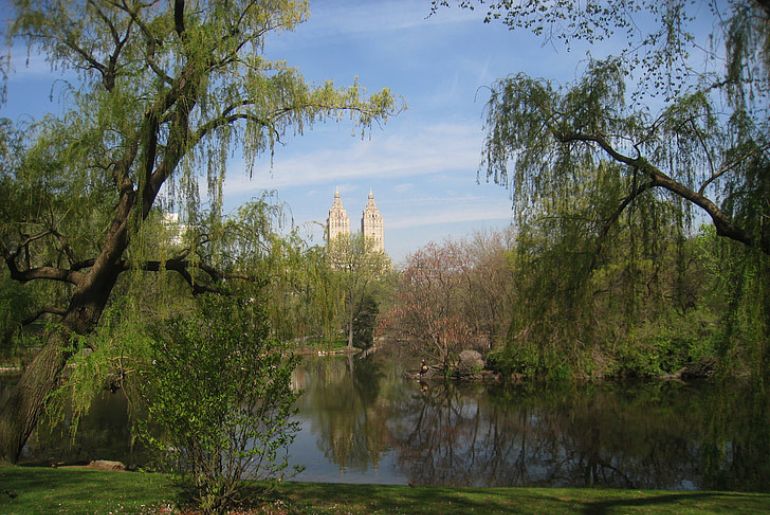
You’ll be obsessed with this app’s forest expertise. It is an archive of over 1,000,000 trees in New York City and is called the ‘NYC Tree Map.’ The NYC Tree Map lets users interact with trees and provides them with any kind of information about the trees in the city.
For instance, it lets the user know how the tree has helped in cleaning the city, what its current condition is, and even its biological data like species, diameter, age, etc. The map also gives insight into some interesting knowledge about trees in New York City. For instance, the map reveals that Queens has 288,246 trees mapped, the highest number in all of New York City. Manhattan, on the other, hand, has 94,841 trees, the lowest in the city.
Also Read: 5 Christmas Tree Lighting Spots In RAK That Look Stunning!
App Uses Data From A 2016-18 Study
This magnanimous effort was made possible by a study that was conducted from 2016 to 2018. It was called the Park Tree Inventory Project and it documented more than 7,500 acres of park landscape in New York City. The study was conducted as part of the ongoing effort to document trees growing in New York City Parkland.
Also Read: Year In Search 2022: These Are The Top 10 Cultural Landmarks Searched On Google Maps Globally
Check out the map here!
Cover Image Credits: Pickpik