


Sure, the Arogya Setu Application helped up gaze and understand the COVID scenario in our respective areas, but now Google Maps is taking things up a notch higher by displaying demarcated containment zones in Mumbai. So now, you can look at Google Maps for containment zones before travelling to any other part of the city. This feature comes through the ‘COVID-19 Info’ layer that Google launched globally to colour code the areas infected with COVID-19 cases. Isn’t that a great invention?
Also read: These Are The World’s Top 10 Saved Places On Google Maps
Mumbaikars Can Get Details Of COVID-19 On Google Maps
Google said that it was working closely with BMC for sourcing information about containment zones in the city. Earlier this year, Google Maps received an update to search for COVID-19 testing centres in India. With the newly updated map, the users in Mumbai can get details of containment zones in their city. The latest feature is available both on Android as well as iOS devices and is a part of the latest Google Maps release. Google Maps Will Now Tell You About Covid-19 Travel Related Restrictions.
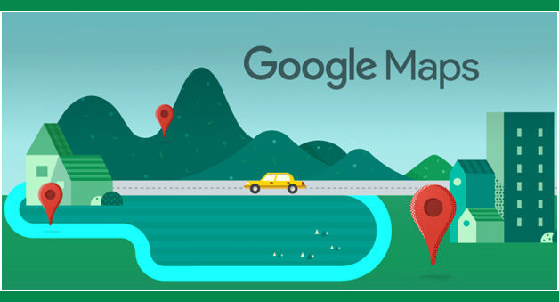
Select COVID-19 Info Layer Button On Google Maps
As business and offices slowly begin to open up, access to the information about COVID-19 containment zones will enable users to make better decisions as they move around the city. To find the containment zones, you will need to select the COVID-19 Info layer button on Google Maps. You will be able to view all the containment zones in the city once you zoom out a bit. Here are 10 Google Maps Tricks To Make Your Travel More Efficient.

Although the new feature is limited to Mumbai right now, users in other cities can also leverage the COVID-19 Info layer on Google Maps to access state-level statistics. The layer also overlays the number of new COVID-19 cases indicated per 1,00,000 users. One can see the number of cases in the state when they zoom out to view their entire state.